Image Source: DOI: 10.1016/j.procs.2013.01.069
Donna Lyndsay, Andrew Coote and Harry Storer
Introduction
A new wave of globally significant use cases for geospatial data and analytics is transforming supply chain management across diverse industries, driven in part by the power of GeoAI. This article explores how geospatial intelligence is reshaping the way organizations analyse and optimize global supply chains, and outlines practical, actionable steps to accelerate the worldwide adoption of geospatial technologies, especially among large enterprises managing the most complex supply networks.
The impact of Supply Chains
In our interconnected world we all rely on supply chains being robust and reliable – vulnerability leads to goods as diverse as food to mobile phones not being available, affecting billions of consumers across the world. Geopolitics, climate change, poverty, wars, and tariffs are just some of the artifacts of our dysfunctional world that disrupt supply chains.
Recent global crises have exposed the vulnerabilities and complexities of international supply chains, highlighting the importance of geodata for sourcing materials and managing trade routes. The COVID-19 pandemic, the Ukraine-Russia war[1], and blockages in the Suez[2] and Panama Canals have all recently led to increased costs, inflationary pressures, and the need to adapt procurement strategies rapidly.
Significant trade flows, like the 12% of global commerce passing daily through the Suez Canal and 5% through the Panama Canal, are increasingly threatened by both manmade and environmental factors, with shifting routes and new waterways, such as potential Arctic passages, further illustrating the ongoing impact of global events on international trade[3]. In the worst cases, this leads to increased levels of malnutrition in the poorest countries in the world, for instance, when the Ukraine war cut off the supply of grain to many African countries. In many other cases it causes the closure of companies that lose key customers by being unable to fulfil contracts. This has the macroeconomic effect of unemployment, governments missing growth targets, reduced commercial profits, and investment culminating in economic downturns.
In short, stable and efficient supply chains underpin the health of the global economy.
The Language of Supply Chains
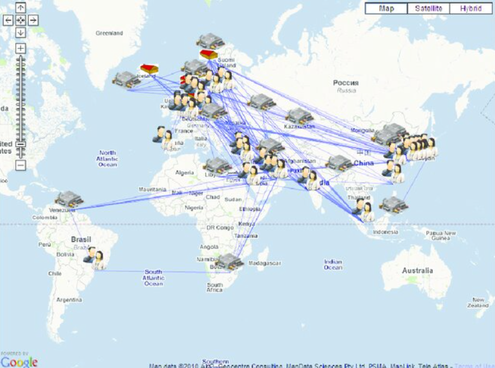
Figure 1 shows how supply chains involve a network of suppliers, resources, and processes from raw materials to direct suppliers to end customers. For large organisations, often referred to as the Original Equipment Manufacturer, as you move from your direct suppliers (Tier 1) to their suppliers (Tier2) and onward it becomes increasingly challenging for companies to track sources and locations.
Figure 1 Tiers of a Supply Chain and how they are defined
Financial Services Global Action Agenda
Supply chains generate 60 %of global emissions,[4] and up to 90% of an organisation’s environmental impact occurs outside its direct operations[5]. Keeping supply chain emissions under control is, therefore, also significant to planetary health.
In the wake of the Global Financial Crisis in 2009, the world’s central banks put together a series of regulations designed to make the financial services market more resilient to market shocks. These regulations were originally based on setting thresholds on liquidity, aimed at ensuring banks had sufficient cash reserves to better withstand such “headwinds” in future.
In the last few years, these new financial disclosure regulations have been strengthened to require reporting on vulnerability to climate change and supply chain risks. Further, shareholder pressure and customer expectations are also driving the need at a corporate board level to act.
In Europe, disclosure regulations, such as the EU Corporate Sustainability Reporting Directive (CSRD[6]), increasingly play a crucial role. CSRD is part of the EU’s broader Green Deal strategy. It aims to improve transparency and accountability by requiring companies to disclose detailed information on their environmental, social, and governance (ESG) performance. Although such initiatives have recently been displaced from global headlines by geopolitical concerns, the need to report has not gone away.
Further, the current “trade wars” accentuate the need for companies to better understand their supply chains and offers the potential to use the improved location intelligence of their supply chains to reduce risk when considering new investments and so improve profitability.
Why is this an opportunity for the geospatial industry?
Supply chains contain separate, seemingly unconnected bits of location-based information, that we can make visible and connected to the planet. The Geospatial industry possesses the “superpower” to make supply chains transparent by connecting information and insights using Earth Observation and geospatial integration. Further, we can leverage our increasing understanding of the true value of AI and express geospatial-driven solutions in the languages of finance and supply chain management that make sense to a Chief Financial Officer.
We have seen how Google maps have made geospatial accessible to consumers. However, ironically, our global systems, such as finance or digital trade, haven’t yet evolved the same interoperability.
What does the Geospatial industry need to do – Calls to Action
Improve interoperability – It’s not a lack of skills that’s the problem, although our ability to express our value propositions in economic terms is a continuing concern. Data creation and curation are expensive, and the data we create usually suffers from a lack of interoperability across systems and sectors. We frequently see barriers due to lack of data sharing and communication of sector-specific knowledge, which limit access to information, either through licensing contracts or inadequate metadata. The key to overcoming such barriers include raising awareness and asserting the value of interoperability.
Engage the Supply Chain Management industry – many large companies don’t know where their impact is; as discussed, locational insights are often lacking beyond tier. 1. To address this challenge, the Supply Chain Data Partnership was established by leaders in geography and spatial data. Founding partners Unilever, Ordnance Survey, Esri, Deloitte, Planet, Trase, GS1, and GLEIF created a global asset registry using AI to verify locations and assign unique identifiers, improving interoperability across systems. Their initial focus on soy supply chains has progressed to a minimum viable product for broader testing [7]. Engagement requires the industry to better market our value proposition to large corporates.
Leverage GeoAI – GeoAI combines geospatial intelligence with machine learning to illuminate hidden nodes, flag anomalies, and deliver real-time visibility across complex supply chains, making transparency not just possible, but predictive. GEOAI is evolving fast. By the time this article is published, we will already have new foundational models to help with monitoring and identification, delivering a transformative edge in supply chain transparency. We can now leverage satellite analytics and AI to surface hidden risks, validate ESG claims, and enable proactive decision-making across global operations.
Assert the Value Proposition – there are plenty of examples, where failure to take account of “georisks” can have a direct impact on the bottom line. Citrus fruit quality[8], cocoa[9] and other commodities are all feeling the impact of climate change, reducing yields and increasing vulnerability to pests and diseases. The geospatial community needs to socialise these use cases and their economic impact.
Support Global Initiatives – there are some potentially powerful global initiatives that should help overcome these technical and governance barriers. The Task Force for Nature-related Financial Disclosure (TNFD[10]), where data is being curated to help companies understand their impact and reliance on nature. Supported by Esri Inc., companies can navigate the data catalogue to find the relevant support datasets.
Collaborate with Innovators – new data and reporting systems are also being developed by startups and companies with geospatial and earth observation expertise to gather the global insights needed for assessing climate, slavery, and environmental risks. These include new companies such as Map Impact, Rebirth Analytics, and Climate X, as well as data analytics from commercial satellite companies like Planet Labs. A recent United Nations publication provides a position paper on the future geospatial information ecosystem[11] highlighting the increasing intersection between geospatial other technologies.
Partner with Insurers – Insurability risk is a fundamental consideration within supply chain frameworks, as well as whether business continuity insurance will be provided in specific locations. If a business is refused insurance for a manufacturing facility or a distribution hub due to climate change risks, such as wildfire or flooding, it may need to relocate at significant expense to both the company and its employees.
Summary
By harnessing the power of understanding geography, we have a better chance of creating resilience across the planet in a more equitable manner. To avoid a disorderly transition to a new metrological and political climate, we must be able to understand our risks and opportunities globally. The signals are all there; we hear about them every day, from tariffs to floods, to heat waves to wars.
The geospatial community, have the agency, skills, and tools to support the world’s need for data and insights like never before. Our community knows how to navigate the complex data landscape. We don’t need permission, we need to create visibility of supply chains across the globe and break down the silos that limit the interoperability of information, removing the complexity so that existing systems can adopt the insights we can deliver. Using geospatial insights, we can light up interdependencies, risks and opportunities previously hidden.
We don’t have the luxury of time to reinvent the wheel, or for non-experts to navigate the data, systems, and explosion of platforms. A first step would be to identify companies willing to engage with the geospatial community to prove the essential value proposition that location can reduce risk and improve geo-enabled decision making. This would seem to be a relatively low-cost but high-reward exercise.
To our geospatial community, our time is now; we have the skills, data, and technical capability, and we must help those who need to solve these challenges to protect people, planet, and profit.
[1] Global Business Impacts: Russia-Ukraine Crisis – Dun & Bradstreet
[2] https://www.bbc.co.uk/news/business-56559073
[3] https://www.brown.edu/news/2022-06-22/arctic
[4] World Economic Forum (WEF)/Boston Consulting Group (BCG) (2021), ‘Net-Zero Challenge: The Supply Chain Opportunity’, https://www.weforum.org/publications/net-zero-challenge-the-supply-chain-opportunity/
[5]Carbon Trust, ‘Value chain and supply chain Sustainability https://www.carbontrust.com/value-chain-and-supply-chain-sustainability-0
[6] The Corporate Sustainability Reporting Directive (CSRD) is an EU law that mandates European Union (EU) and certain non-EU companies to publish detailed information about their environmental, social, and governance (ESG) performance, and how these factors impact the company and society.
[7] Lyndsay, Donna, Croney, Stephen and Elliott, Cindy (2025, June 1). Verifying ‘where’ in the supplier network builds resilience and strengthens brand trust. In the Journal of Supply Chain Management, Logistics and Procurement, Volume 7, Issue 4. https://doi.org/10.69554/AORT2848.
[8] https://www.sciencedirect.com/science/article/abs/pii/S004896972401547X
[9] https://www.christianaid.org.uk/sites/default/files/2025-02/cocoa-crisis-how-chocolate-is-feeling-the-bite-of-climate-change-1.pdf
[11] Positioning the Future Geospatial Information Ecosystem https://ggim.un.org/meetings/GGIM-committee/15th-session/documents/25-00062_UNGGIM_GeospatialEcosystem_report.pdf